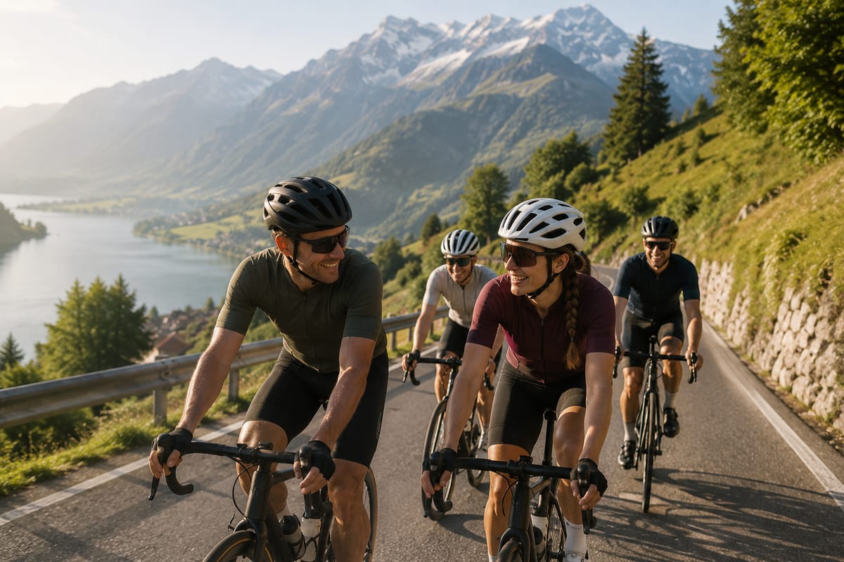
See it while you ride
Mount your phone and glance down: the floating gauge shows your current gradient, the metres left to the top of the climb, and how far to the next water — without ever leaving your map.
Open the web app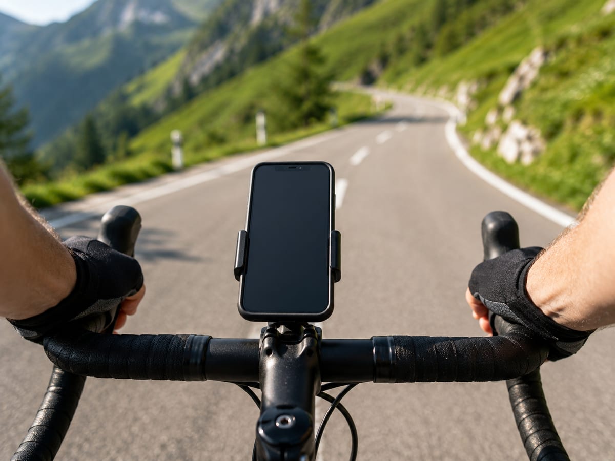
Cycling co-pilot · Switzerland first
Before each climb, see what's coming. Before you run out, find the next fountain. A floating gauge that rides on top of your map.
Works on any phone — open the web app (iPhone & Android), or get the Android app for the floating overlay.
Pick a route, ride it inside the window and upload your GPX. Scored on points — from your climbs and your time (watts-per-kilo) — fair to every kind of rider, with a King-of-the-Mountains jersey for the best climber. Sponsor prizes on the line. Entry from a couple of francs.
Not another navigation app — a focused effort & water co-pilot that sits over the map you already use.
Current gradient, distance and metres to the top, and the climb coming up — so nothing surprises you.
Drinking fountains and taps near your route from OpenStreetMap, with a gauge that warns as you near one.
A small gauge that floats over Mapy, Komoot or your home screen on Android — glanceable while you ride.
No route loaded? The gauge follows GPS and detects the climb you're on — gradient and metres gained, live.
Export from Mapy, Komoot or Strava — or grab one of our Swiss routes below — and ride it with full climb stats.
We specialise in Swiss roads, climbs and fountains before going wider — local depth over global breadth.
Mount your phone and glance down: the floating gauge shows your current gradient, the metres left to the top of the climb, and how far to the next water — without ever leaving your map.
Open the web appHand-picked Swiss rides. Download the GPX, open it in Climb & Water, and ride with climb + water guidance. More added regularly.
Clubs, shops and friends of Swiss cycling we like to point you to.
Open the web app on any phone now, or get the Android app for the floating overlay. 30-day free trial when premium launches.
Open web app 🏆 Challenge your friends